O petróleo bruto é levado à superfície e repuperado por um tanque, mas esta não é uma solução definitiva. O chefe das operações explica: “A solução final é parar. A próxima tentativa é para terminar com o fluxo ainda vai ocorrer esta semana, quando literalmente atingirmos a fuga com uma injecção técnica, de lama e depois de betão. “
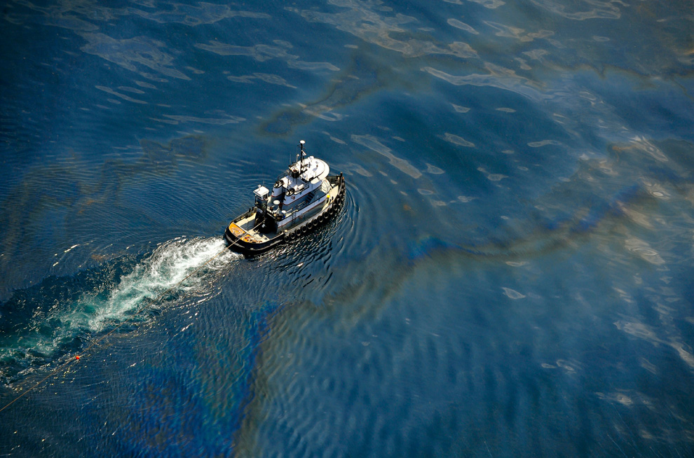
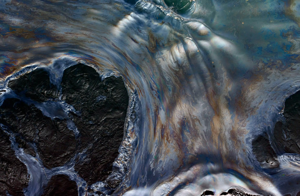
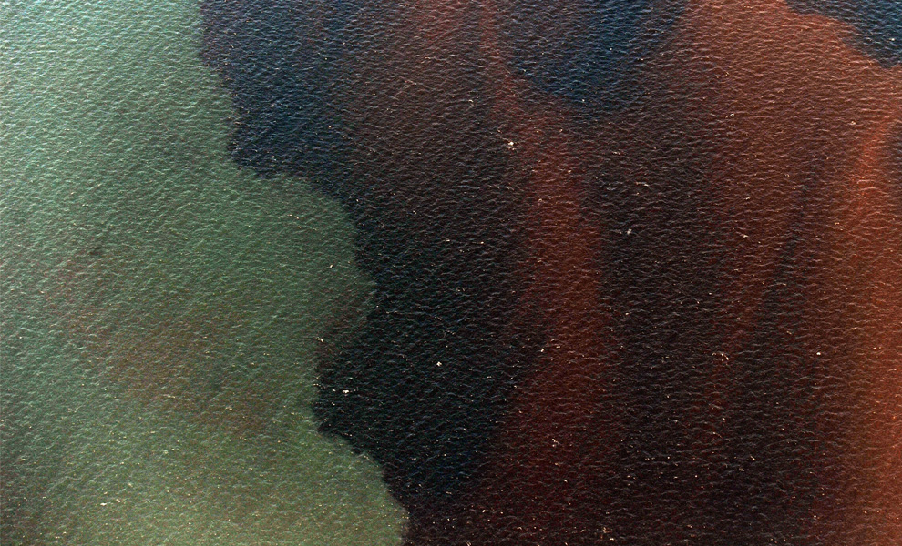
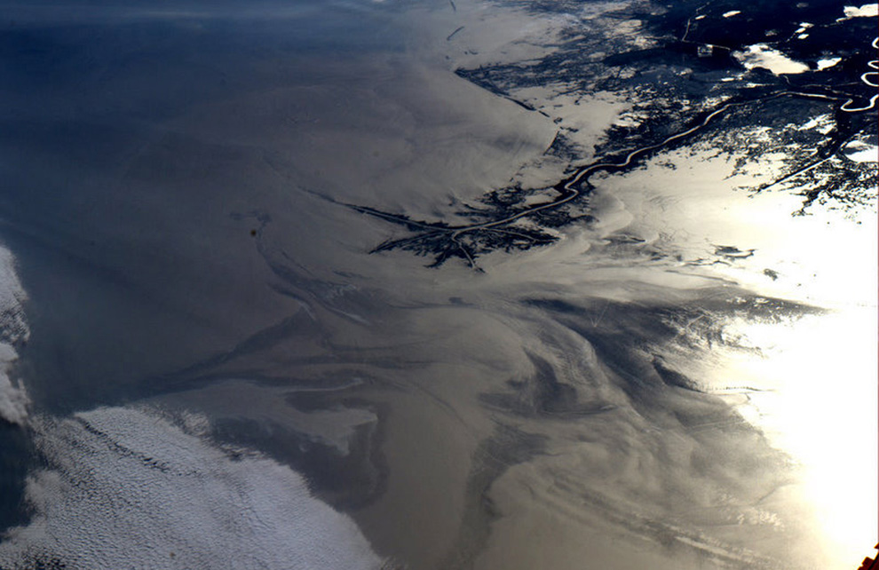
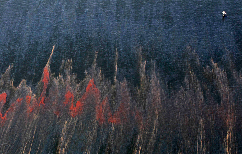
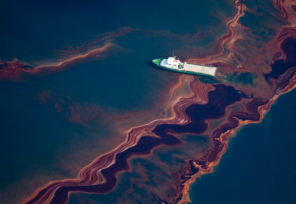
A pressão sobre a petrolífera britânica aumenta desde que os cientistas americanos revelaram, no passado fim de semana, a existência de enormes marés negras, uma das quais com 16 km de comprimento e cinco de largura e 90 metros de expessura.
A descoberta indica que a dimensão da catástrofe pode ser maior do que a prevista. Os investigadores também acreditam que as marés negras vão ser levadas pela corrente até à Florida e mesmo até à costa atlântica dos Estados Unidos.
Os pescadores do Louisiana puderam ir à faina porque as autoridades abriram, por agora, as águas de pesca. E cruzam os dedos para que assim continue, como demonstra um pescador.
“É um desastre completo. Comprometeu muito do nosso trabalho. Tivémos direito a um pouco de trabalho para viver. Graças a Deus por isto. O petróleo ainda não entrou completamente nas nossas águas. É uma benção. Dá-nos a oportunidade de trabalhar até as coisas ficarem mesmo difíceis. .”
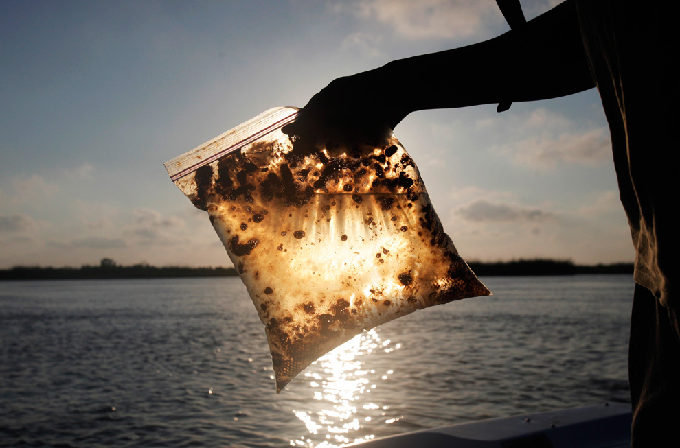
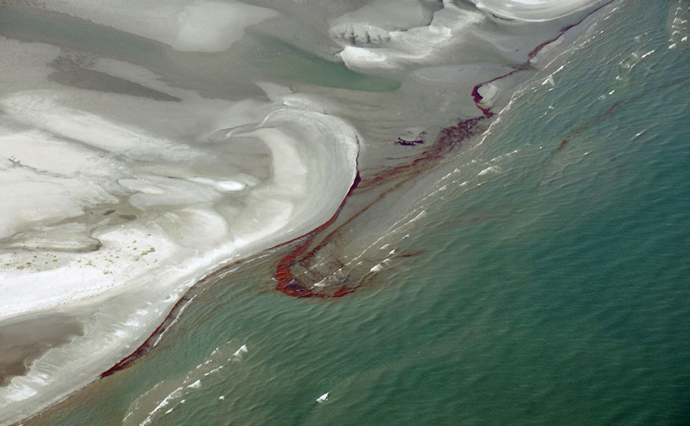
Até agora, a maré negra poupou o litoral, mas os traços são visíveis nas praias do Alabama, Louisiana e Mississipi. Há uma probabilidade acentuada da maré ser absorvida pelos margens e pântanos mais frágeis.
(http://pt.euronews.net/2010/05/17/mare-negra-do-golfo-do-mexico-pode-atingir-atlantico/)
Disaster unfolds slowly in the Gulf of Mexico
In the three weeks since the April 20th explosion and sinking of the Deepwater Horizon oil rig in the Gulf of Mexico, and the start of the subsequent massive (and ongoing) oil leak, many attempts have been made to contain and control the scale of the environmental disaster. Oil dispersants are being sprayed, containment booms erected, protective barriers built, controlled burns undertaken, and devices are being lowered to the sea floor to try and cap the leaks, with little success to date. While tracking the volume of the continued flow of oil is difficult, an estimated 5,000 barrels of oil (possibly much more) continues to pour into the gulf every day. While visible damage to shorelines has been minimal to date as the oil has spread slowly, the scene remains, in the words of President Obama, a "potentially unprecedented environmental disaster." (40 photos total)
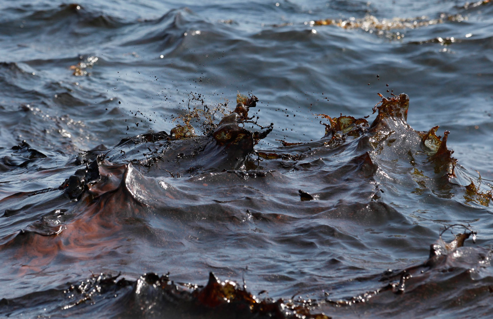
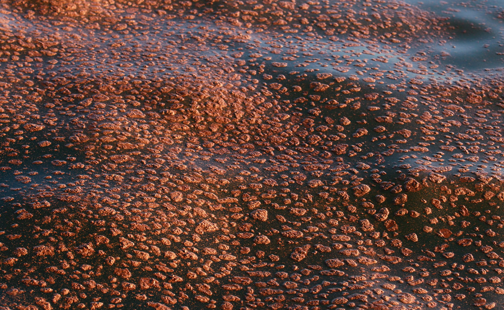
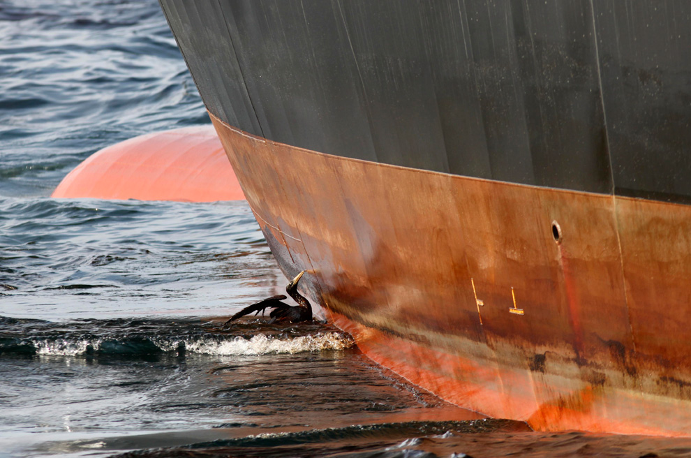
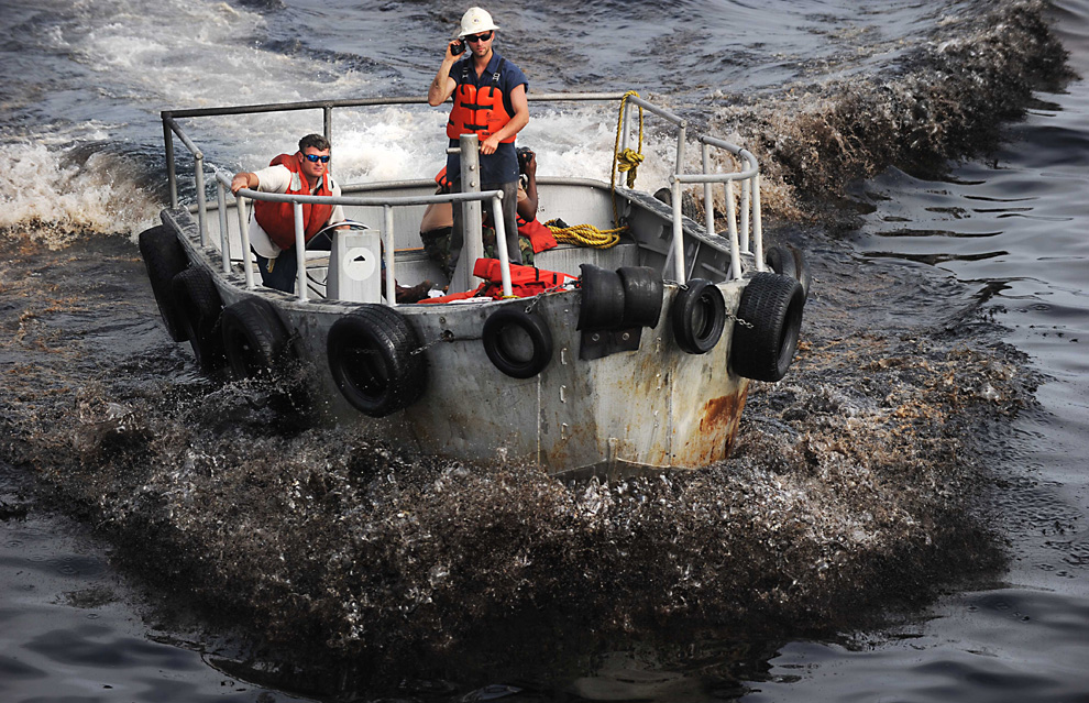
Seawater covered with thick black oil splashes up in brown-stained whitecaps off the side of the supply vessel Joe Griffin at the site of the Deepwater Horizon oil spill containment efforts in the Gulf of Mexico off the coast of Louisiana Sunday, May 9, 2010. (AP Photo/Gerald Herbert)
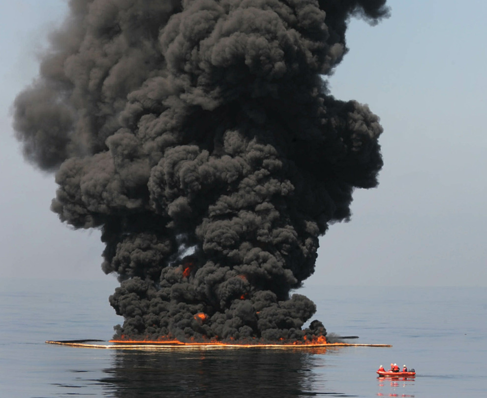
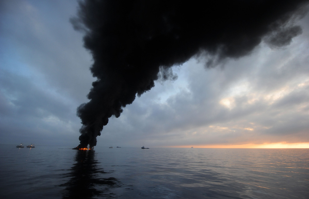
Oil burns during a controlled fire May 6, 2010 in the Gulf of Mexico. The U.S. Coast Guard is overseeing oil burns after the sinking, and subsequent massive oil leak, from the sinking of the Deepwater Horizon oil platform off the coast of Louisiana. (Justin E. Stumberg/U.S. Navy via Getty Images) #
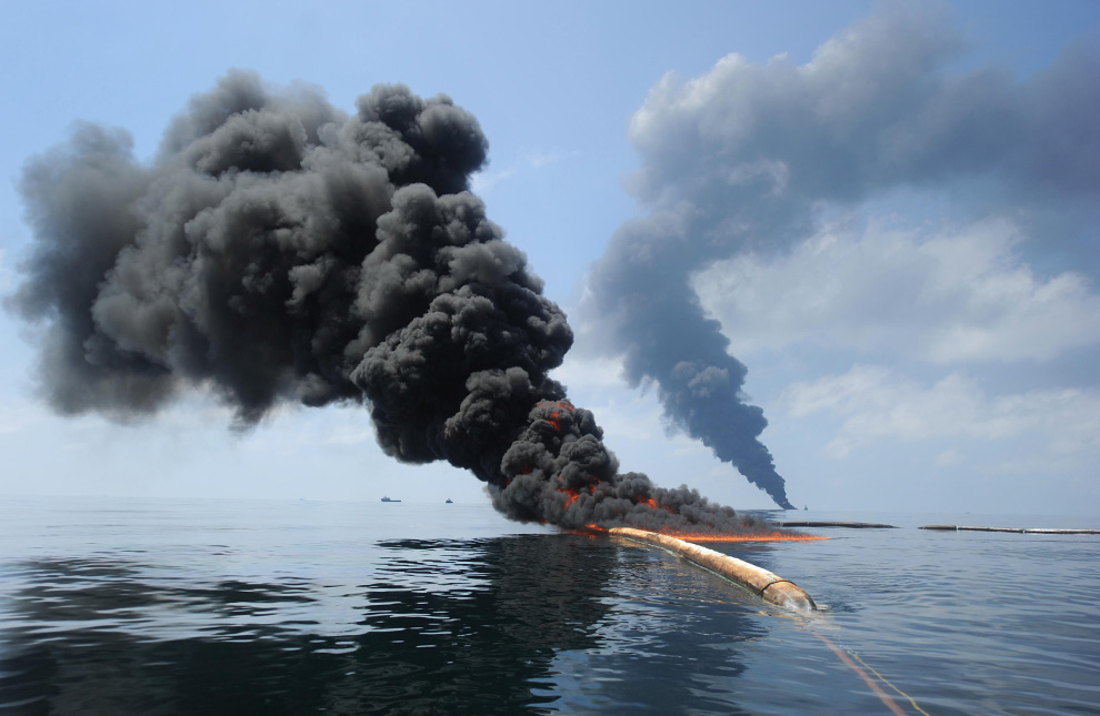
Dark clouds of smoke and fire emerge as oil burns during a controlled fire in the Gulf of Mexico, May 6, 2010. The U.S. Coast Guard working in partnership with BP PLC, local residents, and other federal agencies conducted the "in situ burn" to aid in preventing the spread of oil. (REUTERS/Mass Communication Specialist 2nd Class Justin Stumberg-US Navy) #

Oil washes onto the sides of a 100-ton concrete-and-steel pollution containment chamber as the mobile offshore drilling unit Q4000 lowers it into the water at the Deepwater Horizon site on May 6, 2010 in the Gulf of Mexico . The chamber was designed to cap the oil discharge that was a result of the Deepwater Horizon incident. (Patrick Kelley/U.S. Coast Guard via Getty Images) #

The single cable supporting the 100-ton oil containment device being lowered to the sea floor disappears into Gulf waters off the side of the Q400 mobile drilling platform on Sunday, May 9, 2010. Efforts to contain the leak with the device were unsuccessful due to ice crystals forming in its domed roof. (AP Photo/Gerald Herbert) #

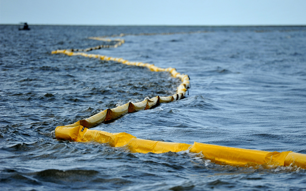
One of the New harbor Islands is protected by two oil booms against the oil slick that has passed inside of the protective barrier formed by the Chandeleur Islands, as cleanup operations continue for the BP Deepwater Horizon platform disaster off Louisiana, on May 10, 2010. (MARK RALSTON/AFP/Getty Images) #
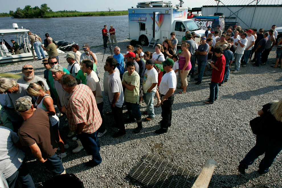
Unemployed commercial fishermen and their families wait in line to receive handouts from New Orleans Catholic Charities on May 5, 2010 in Hopedale, Louisiana. Many local fishermen have been temporarily shut down but have been hired by British Petroleum (BP) to lay oil booms in sensitive areas. (Sandy Huffaker/Getty Images) #

Captain Johnny Bourgeois and deckhand Chris Crappel (left) of Venice, Louisiana retie netting for shrimp trawling as they wait for the shrimp season to reopen in Venice, Louisiana May 9, 2010. Louisiana Department of Wildlife and Fisheries (LDWF) Secretary Robert Barham announced that the shrimp season in the territorial seas of the central coast of Louisiana from Four Bayou Pass to Freshwater Bayou were closed effective sunset Saturday. (REUTERS/Sean Gardner) #
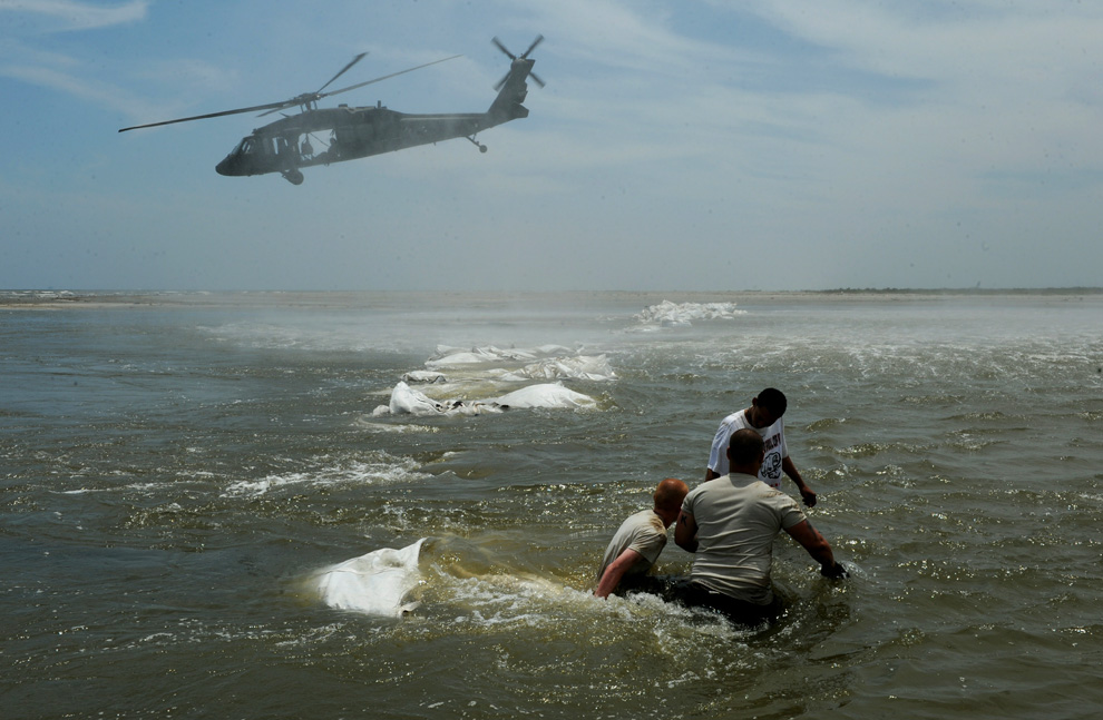
Louisiana National Guardsmen use Blackhawk helicopters to build a dam to protect the fragile wetlands known locally as "Bayou" near the town of Grand Isle, as work continues to protect the coastline from oil after the BP Deepwater Horizon platform disaster off Louisiana, on May 11, 2010. (MARK RALSTON/AFP/Getty Images) #
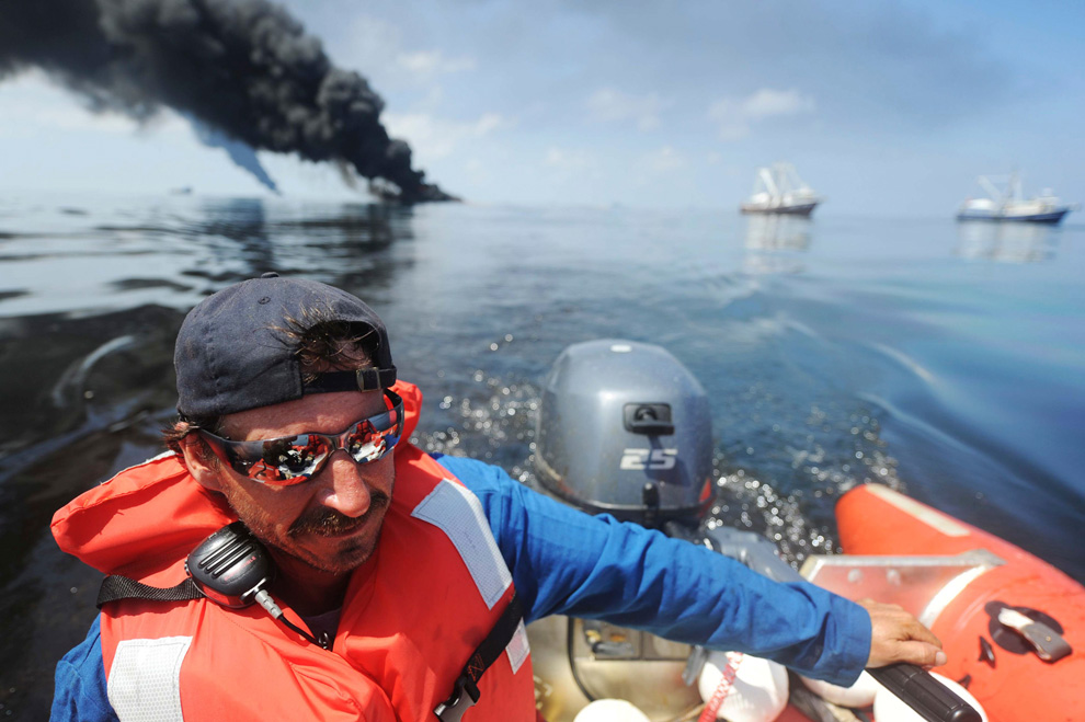
Steve Henne, of Marine Spill Response Corp., heads back to the Premier Explorer after a controlled burn in the Gulf of Mexico May 6, 2010. The U.S. Coast Guard working in partnership with BP PLC, local residents, and other federal agencies conducted the "in situ burn" to aid in preventing the spread of oil following the April 20 explosion on Mobile Offshore Drilling Unit Deepwater Horizon. Picture taken May 6, 2010. (REUTERS/Mass Communication Specialist 2nd Class Justin Stumberg-US Navy) #
